Aerial survey is a method of collecting geomatics or other imagery by using airplanes, helicopters or balloons or other aerial methods.
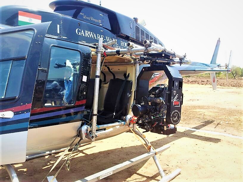
In order to carry out an aerial survey, a sensor needs to be fixed to the interior or the exterior of the airborne platform with line-of-sight to the target it is remotely sensing. With manned aircraft, this is accomplished either through an aperture in the skin of the aircraft or mounted externally on a wing strut and for helicopter it is mounted under the belly
FEATURES
Aerial surveys can provide information on many things not visible from the ground.
Aerial surveys are used for Archaeology or archeology, Geophysics, Hydrocarbon exploration (or oil and gas exploration), Surveying or land surveying,
Mining of the extraction of valuable geological materials from the Earth, Transportation projects in conjunction with ground surveys (roadway, bridge, highway)
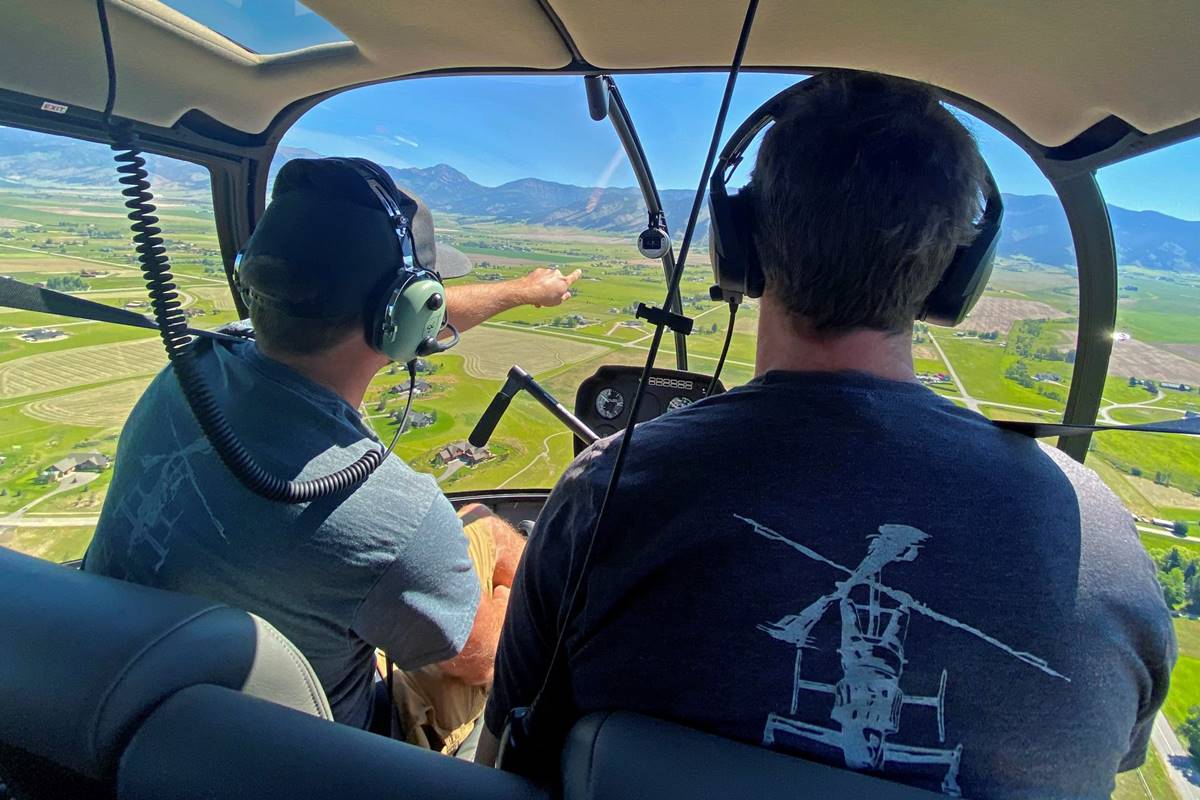
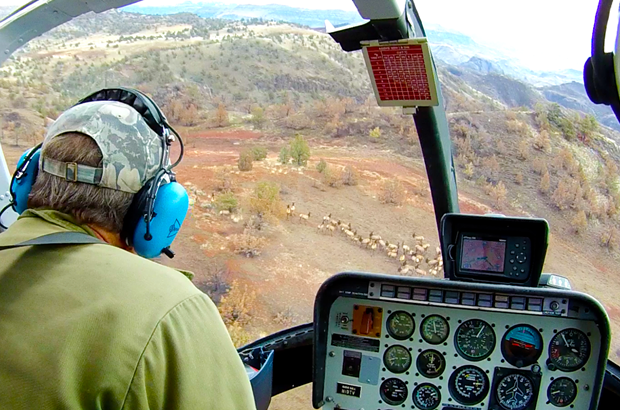
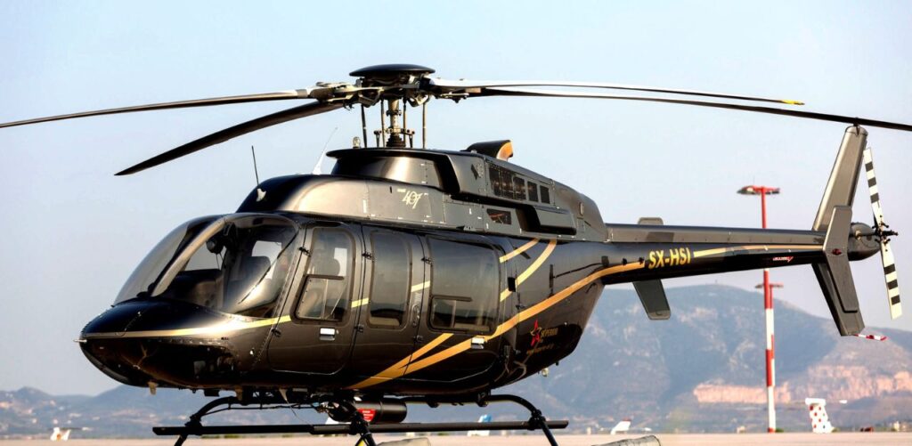
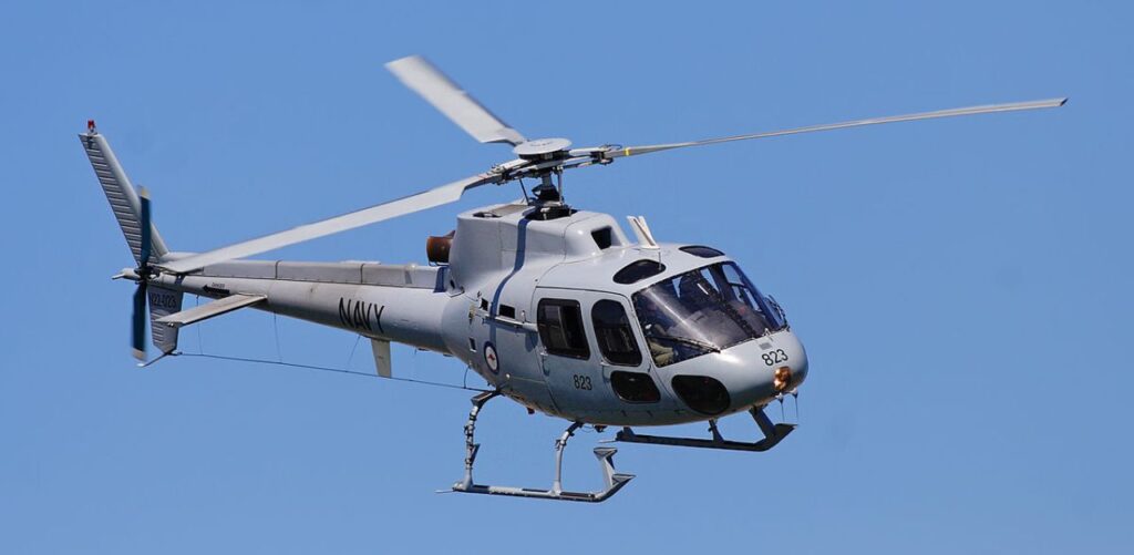
Helicopter Aerial Survey
Due to hovering and low altitude flying facility of helicopter, helicopters are use for aerial survey. Compared to airplane surveys, helicopters can fly lower and therefore acquire higher resolution imagery. Generally sensors or camera are installed under the belly of helicopter or nose section with the pod.
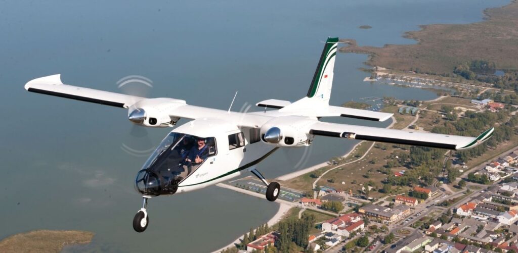
Aircraft Aerial Survey
Due to hovering and low altitude flying facility of helicopter, helicopters are use for aerial survey. Compared to airplane surveys, helicopters can fly lower and therefore acquire higher resolution imagery. Generally sensors or camera are installed under the belly of helicopter or nose section with the pod.